
When a Fence Looks Right but the Survey Says Otherwise
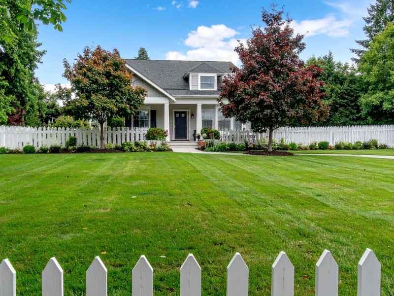
A fence has stood in the same spot for twenty years. Both neighbors agree on where it sits. Everyone thinks it marks the property line. Then a boundary line survey comes back. It shows the fence is three feet onto the neighbor’s land. Or maybe it is three feet short of your own land.
This happens a lot in Alabaster. People build fences by guessing, by using old surveys, or by a handshake deal with a neighbor who moved away years ago. None of that counts once a new survey is on file.
Here is the main point: a fence does not prove where your land ends. Only a survey tied to real deeds and markers can show the true property line.
Understanding Floodplain Documentation Requirements Before Permitting
Alabaster has grown fast over the last ten years. Many newer neighborhoods sit near Buck Creek and the smaller streams that feed into it. If your land, or the spot where you want to build a fence, wall or small structure, sits near a flood zone, the city may want paperwork before you can get a permit.
This usually means you need an elevation certificate or a flood permit. It depends on how much of your land sits inside the flood zone. People often forget that fence permits can need this too. Many cities still check if a fence crosses a drainage easement or sits inside a flood zone line.
The rules can change based on your county and how your land is zoned. Shelby County handles flood zone review a bit differently than some other areas nearby. Always check with your city or county building office before you assume your fence project does not need this step.
Why a Boundary Dispute Can Trigger a Floodplain Question
When people argue about a fence line and order a new survey, that survey often shows more than just the boundary. It can show that part of the land in question sits inside a flood zone or a drainage easement. This changes what either person can legally build there. A fence fight and a flood zone question often end up tied together.
Survey Information That Supports Floodplain Compliance Reviews
A topographic survey gives city workers real numbers to check, not just a line on a paper map. For flood zone checks, this means height data tied to a real datum, usually called NAVD88. It also includes drainage features and any buildings already on the land.
If you are dealing with a fence or boundary problem, a good survey should show:
- Property corners tied to real markers, not guesses
- Where the fence sits compared to the true boundary line
- Ground height near any creek, ditch or drainage path
- The base flood height, if your land touches a flood zone
- Buildings, utility lines and easements that affect where a fence can go
This is the kind of information a city worker needs to make sure a new fence, wall or building will not block drainage or break flood zone rules. A basic boundary survey often skips this detail. That is why the type of survey you order matters.
Common Documentation Gaps That Slow Permit Processing
Fence and boundary fights often uncover paperwork problems that stayed hidden for years. A few mistakes show up again and again in Alabaster and Shelby County permit reviews.
Using an old map instead of a new survey. A subdivision map from years ago shows rough lot lines. It rarely has the height and drainage details a flood zone review needs.
No property markers found. If a survey crew cannot find the old corner markers, no one can be sure where the boundary really sits. Any fence built off a guess is at risk.
Fence location never checked against the deed. Many fences get built where an old owner said the line was, not where a real survey places it.
Missing drainage or easement lines. If a new fence crosses a utility line or drainage easement and nobody catches it, the permit gets stuck until it gets fixed.
Each of these problems adds more wait time to a project. Often a neighbor or a lender is waiting on the answer. Catching these issues early saves weeks of back and forth.
Coordinating Survey Data With Floodplain Project Plans
Once your topographic survey is done, that information needs to carry through to whatever gets built next. This could be a new fence, a retaining wall or a bigger site plan. People often skip this step by accident.
If a contractor or designer is planning the fence, make sure they use the same height numbers and boundary lines as the survey. A mismatch between the survey and the building plan is one of the biggest reasons a permit gets sent back.
Ask your surveyor to give you:
- A clear boundary line with the markers noted
- Drainage and flood zone details in the same document, not a separate paper
- Digital files the contractor or engineer can use right away, not just a printed map
Get written confirmation from your contractor that the fence or building plan matches your survey’s boundary and height data. Do this before you turn in your permit. This step catches problems early, before the city finds them for you.
Reducing Approval Risks With Complete Project Documentation
A fence permit near a flood zone or a fence line dispute is one of the easiest projects to mess up on paperwork alone. Most delays come from missing papers, not bad design work.
Before you turn in your fence or boundary project for a permit, make sure you have:
- A current topographic or boundary survey with real markers checked
- Elevation certificates, if your land touches a flood zone
- Written proof that the fence plan matches your survey data
- Any flood permit your city or county requires
- Papers showing easements that could affect where you can build your fence
Timing matters a lot if your fence fight connects to a home sale, a refinance, or a neighbor dispute headed to court. Flood zone review and boundary checks can both take longer than a normal permit. This is even more true if your land sits close to a flood zone line or the boundary fight is still active.
Talk to your surveyor and your local building office as early as you can. Waiting until a dispute gets worse only makes every step slower and more costly.